Colorado Backcountry: East Portal to S. Arapahoe Lakes
Rollins Pass - East Portal
April 23rd, 2006
Click Here for Interactive Map of Route
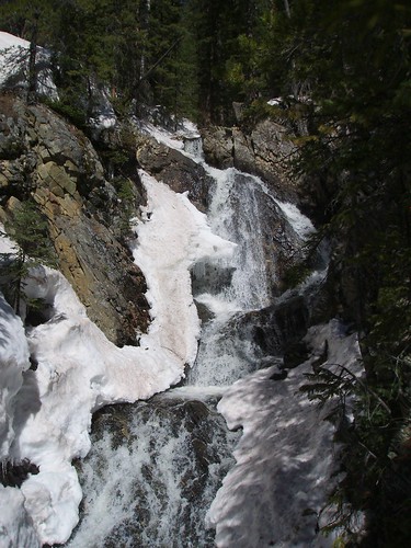
Alex and I got a late start, so we decided it might be a good idea to bushwhack our way up the mountain toward Arapahoe Lakes. The first surprise of the day came when we ran straight into this waterfall and we were unable to cross.
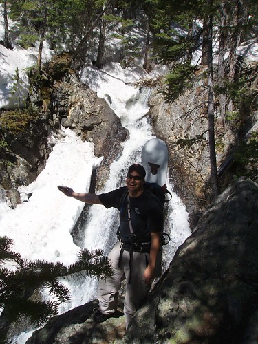
We took a quick break here and headed further up stream to find a good place to cross. Just above the top of the waterfall there is a fallen tree with a nice snow bridge making a safe place to cross. Here Alex gets a fix on our location.
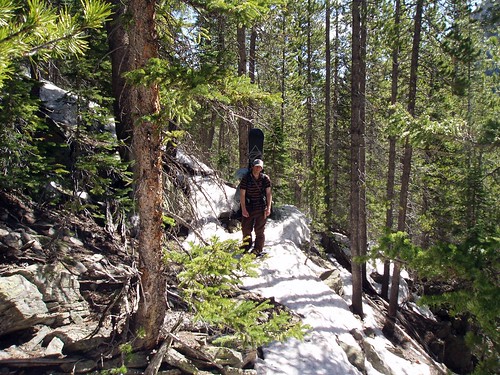
JP continues to slog up the steep face toward the lakes. The snow was melting quickly and the temperatures are rising forcing us to switch between snowshoes and our boots often.
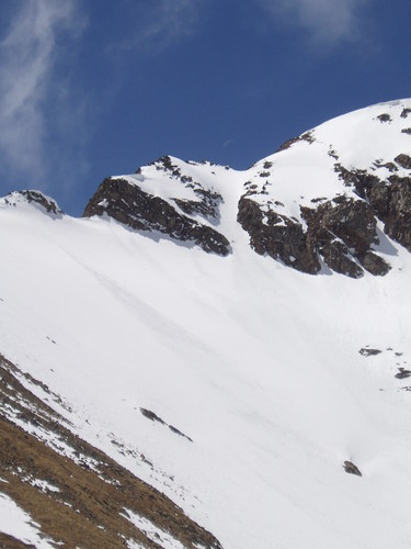
This is the view from our break spot at Arapahoe Lakes. Notice the sweet looking couloir and large snowfield. The lake was still frozen solid so we dug for fresh snow to melt for hot coco and lunch.
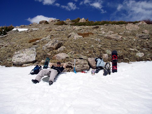
The lunch and chill spot, Arapahoe Lakes. 11,400ft
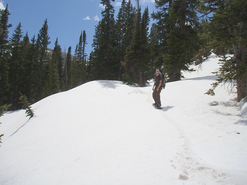
JP on the descent. Taking it easy on the mellow stuff. We had nice soft slushy lines down from the summit and lakes. We made it almost to the valley floor and back to the trail, riding our way through some nasty tree lines.
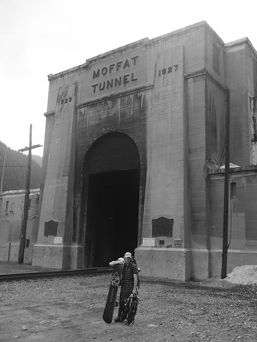
JP near the Moffat Tunnel. Rocking the illuminati hybricon and the Atlas 1230 snowshoes. Overall we did very little snowboarding and lots of touring and scouting. Plenty of snow left back in the Indian Peaks, as we tried to 4x4 back on Rollins Pass road and didn't even make it past the first turn. We logged 6 miles total on the day and a gain of roughly 3000ft.
As one would expect the snow conditions weren't very good. We were completely post holeing by 10am when the snowshoes weren't on. Noticed lots of fresh cornice breaks and wet slides, with the high temps lately and the lack of a snowpack freeze this was expected. Be safe out there and get off the sunny aspects as soon as possible.
- [jp's Blog]
- Login or register to post comments
- [5510 Reads]


