


Colorado Backcountry: Interactive Backcountry Map

This map uses the google maps API and generates an html page based on the spots we love in the backcountry. You can click on the map marker and view the info window which contains data about the way point, weather, snow conditions, and trip report links. This is in proof of concept mode and will be continually developed. Most of my points are setup, although some of the info window data is not correct. My idea behind this is to have an interactive map of locations we've hit, places we want to go, and any other information useful for checking out backcountry locations. Check back as this is completely beta right now, we will be adding more waypoints and lots of data. In addition keep an eye out for interactive maps with Colorado snotel data, and avalanche conditions. Map, Satellite, Hybrid, LANDSAT7, Topo, and JPL Global Mosaic overlays available. Click the above map image or use the link on the sidebar to navigate to the map.
- [jp's Blog]
- Login or register to post comments
- [4894 Reads]
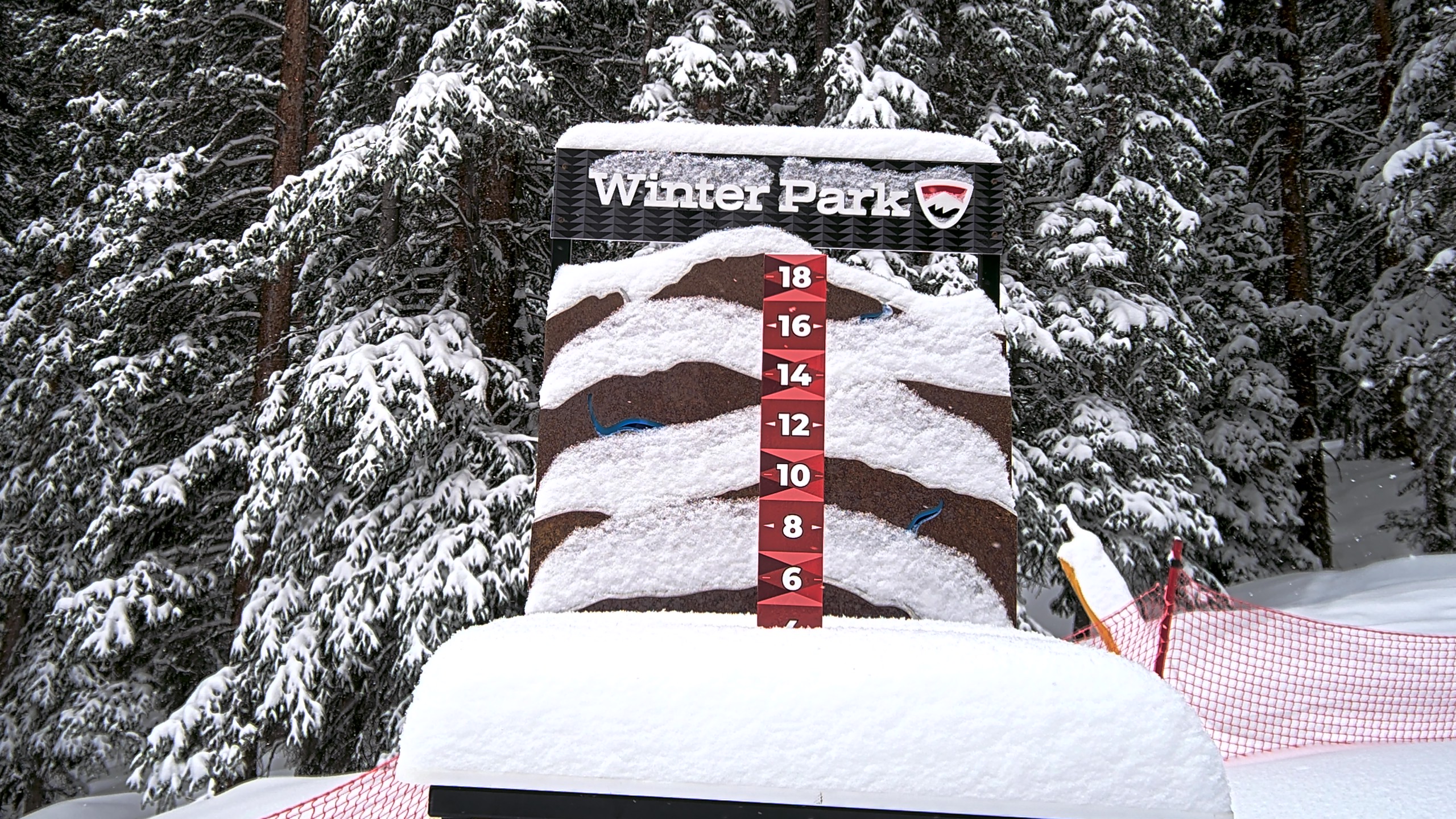
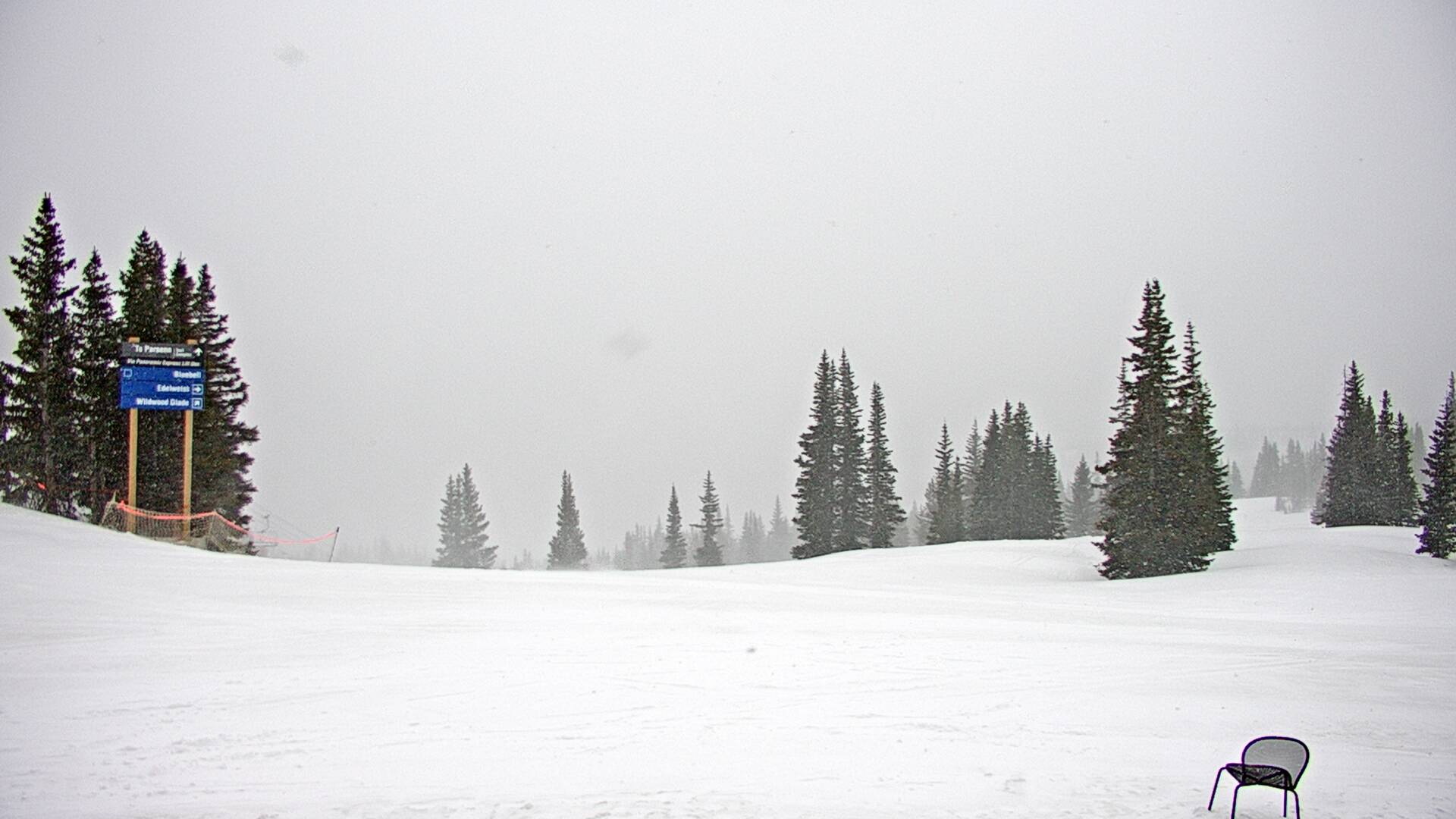
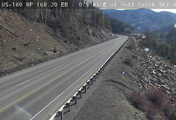
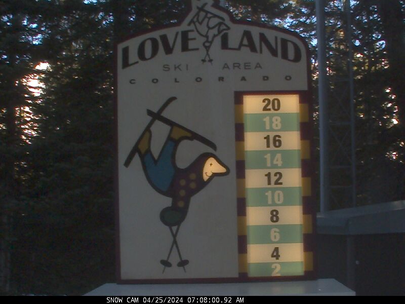
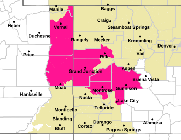
CO/WY WEATHER


Who's Online
There are currently 0 users and 125 guests online.